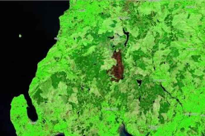
New map reveals extent of countryside scorched by Dumfries and Galloway wildfire

Forestry and Land Scotland have released the graphic from OpenStreetMap which reveals the amount of damage caused by the blaze.
Full Article