Watch: The floating hospitals bringing medical care to India’s isolated Islands
Watch: The floating hospitals bringing medical care to India’s isolated Islands
In the Sundarbans, West Bengal, 10..

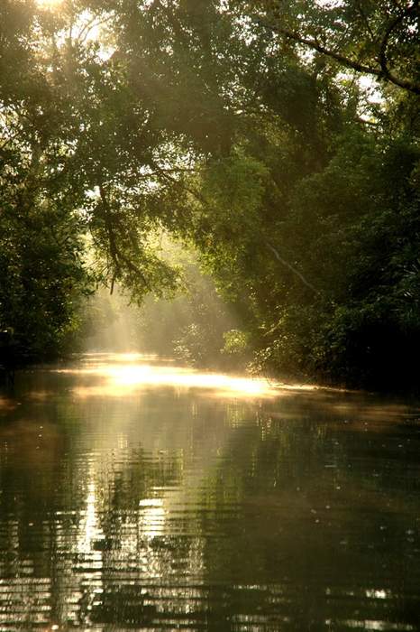
Sundarbans is a mangrove forest area in the Ganges Delta formed by the confluence of the Ganges, Brahmaputra and Meghna Rivers in the Bay of Bengal. It spans the area from the Hooghly River in India's state of West Bengal to the Baleswar River in Bangladesh's Khulna Division. It comprises closed and open mangrove forests, land used for agricultural purpose, mudflats and barren land, and is intersected by multiple tidal streams and channels. Spread across 10,000 km2 (3,900 sq mi), it is the world's largest mangrove forest. The islands are also of great economic importance as a storm barrier, shore stabiliser, nutrient and sediment trap, a source of timber and natural resources, and support a wide variety of aquatic, benthic and terrestrial organisms. They are an excellent example of the ecological processes of monsoon rain flooding, delta formation, tidal influence and plant colonisation. Covering 133,010 ha, the area is estimated to comprise about 55% forest land and 45% wetlands in the form of tidal rivers, creeks, canals and vast estuarine mouths of the river. About 66% of the entire mangrove forest area is estimated to occur in Bangladesh, with the remaining 34% in India.
Watch: The floating hospitals bringing medical care to India’s isolated Islands
In the Sundarbans, West Bengal, 10..