Satellite observations provide insight into post-wildfire forest recovery

Boulder CO (SPX) Jul 08, 2025
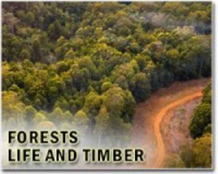
Satellite imagery of Southern Oregon and Northern California forests. NSF NCAR scientists used satellite imagery to evaluate the percentage of forest regrowth post-wildfire across different land conservation categories. (Image courtesy Shima Shams.) Impact Statement: Satellite observations may be an efficient, cost-effective way for land managers to evaluate forest recovery after wildfires