Space lasers, AI used by geospatial scientist to measure forest biomass

Fayetteville AK (SPX) Jun 16, 2025
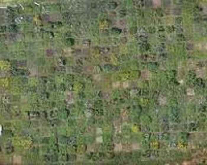
Satellite data used by archaeologists to find traces of ancient ruins hidden under dense forest canopies can also be used to improve the speed and accuracy to measure how much carbon is retained and released in forests. Understanding this carbon cycle is key to climate change research, according to Hamdi Zurqani, an assistant professor of geospatial science for the Arkansas Forest Resource