NASA-French Satellite Spots Large-Scale River Waves for First Time

Pasadena CA (JPL) May 22, 2025
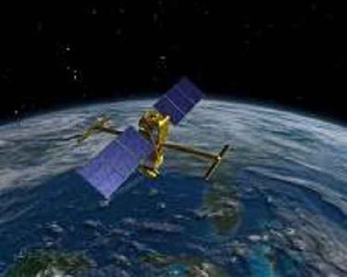
The SWOT mission captured the flood waves, which stretched from 47 to 166 miles long, as they traveled down rivers in Montana, Texas, and Georgia. In a first, researchers from NASA and Virginia Tech used satellite data to measure the height and speed of potentially hazardous flood waves traveling down U.S. rivers. The three waves they tracked were likely caused by extreme rainfall and by a